CATEGORIES
 Nature Tourism
 Cultural Tourism
 Sun & Beach Tourism
 Leisure & Entertainment Tourism
 Health & Wellness Tourism
 Cruise & Nautical Tourism
 Diving & Marine Sports Tourism
 Education Tourism
 M.I.C.E. and Events Tourism
NATURE TOURISM
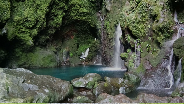
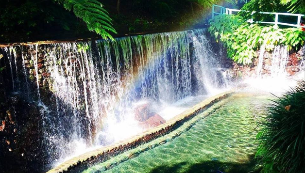
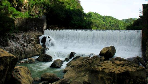
Kilangin Falls Liliw, Laguna
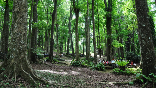
Mt. Makiling Forest Reserve, Los Banos, Laguna
Macatad Ecotourism Site, Sinilion, Laguna
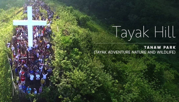
Tayak Adventure Nature and Wild Life Park, Rizal, Laguna
Lobo Agri-Ecotourism Sites, Lobo, Batangas
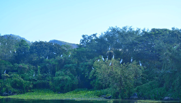
Pansipit River and Volcano Island Bird Sanctuary, San Nicolas, Batangas
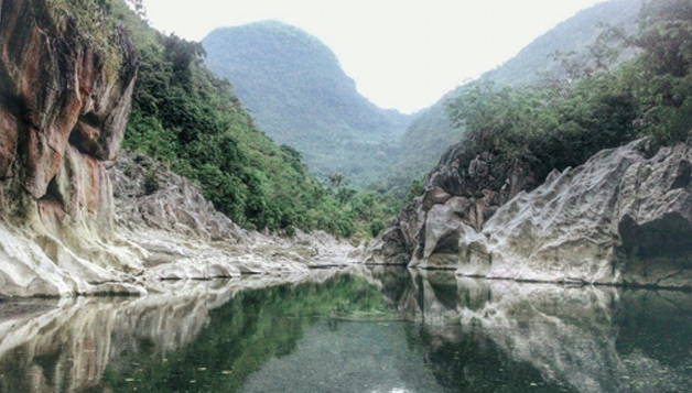
Mt. Daraitan, Tanay, Rizal
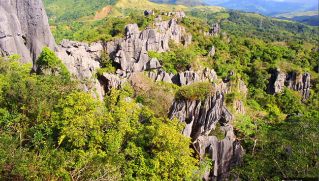
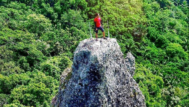
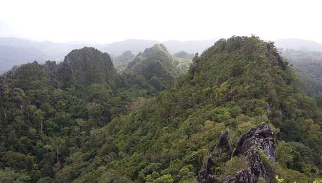
Masungi Karst, Tanay, Rizal
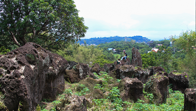
Cardona Rock Garden, Cardona Rizal
Pamitinan Protected Landscape, Rodriguez, Rizal
Quezon Protected Landscape, Atimonan, Quezon
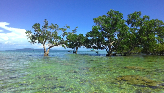
Cagbalete Old Mangroves, Mauban, Quezon
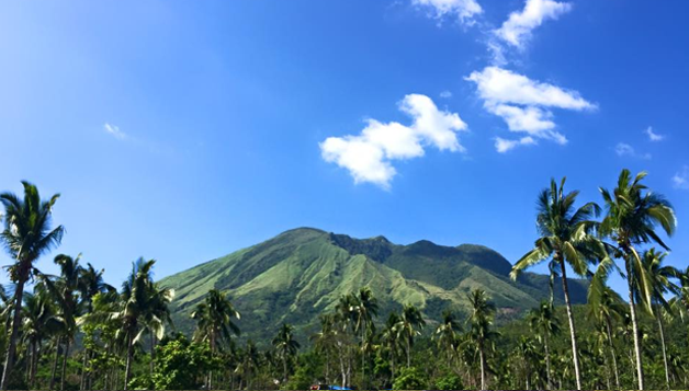
Mount Banahaw
Close
![]()